Know before you go

What’s biting near you, right now.

215 species scored 0 to 100 every hour for your exact water, with the reasons in plain words. This hour in Placida, Florida, on the outgoing tide:

Snook 0Mangrove snapper 0Redfish 0Spotted seatrout 0

From $9.99 a monthFree for 14 days, cancel any time

The Fish Scouter forecast screen: Placida, Florida, snook scored 100, falling tide, 85 degree water, 5 knot wind, glassy seas, and the seven-day outlook.
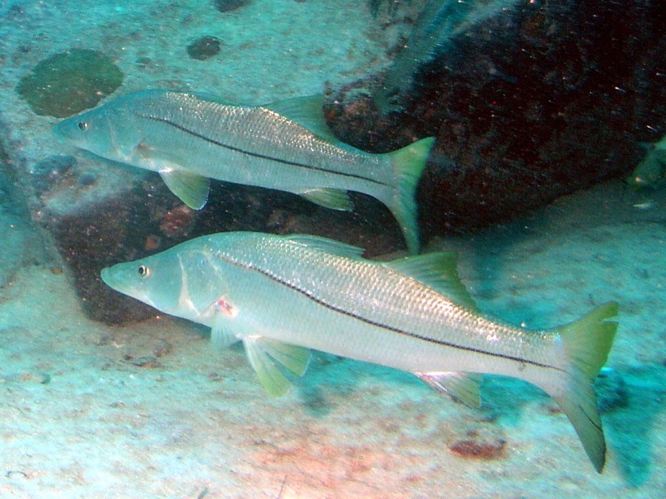
Snook
Snook 100
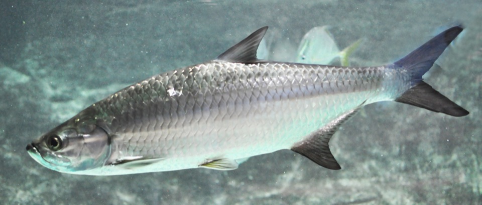
Tarpon
Tarpon 88
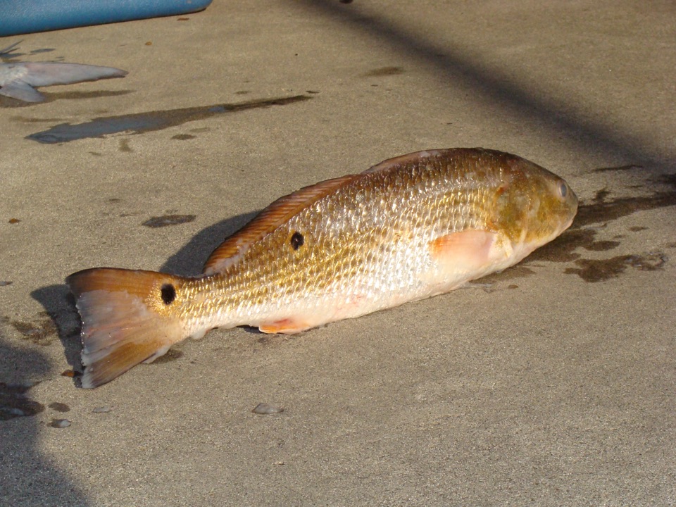
Redfish
Redfish 94
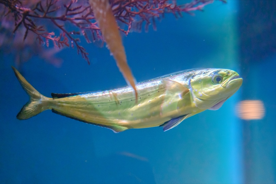
Mahi
Mahi 76
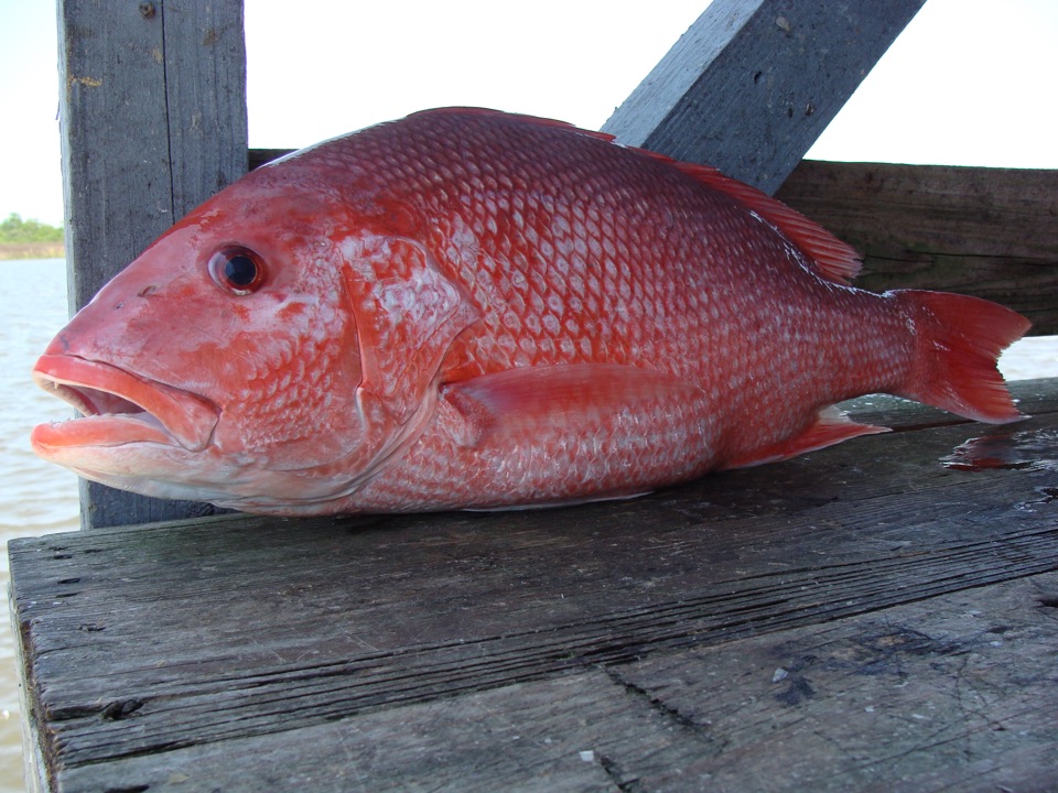
Red snapper
Red snapper 81
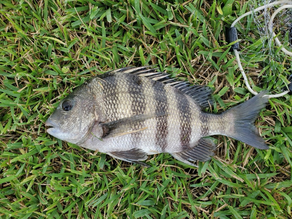
Sheepshead
Sheepshead 72
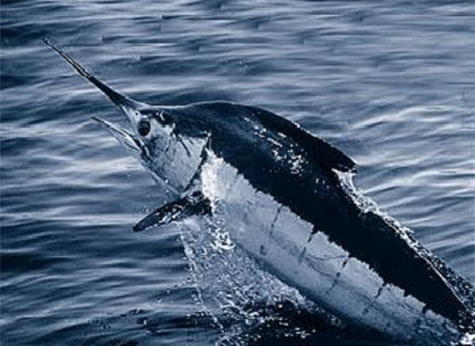
Blue marlin
Blue marlin 58
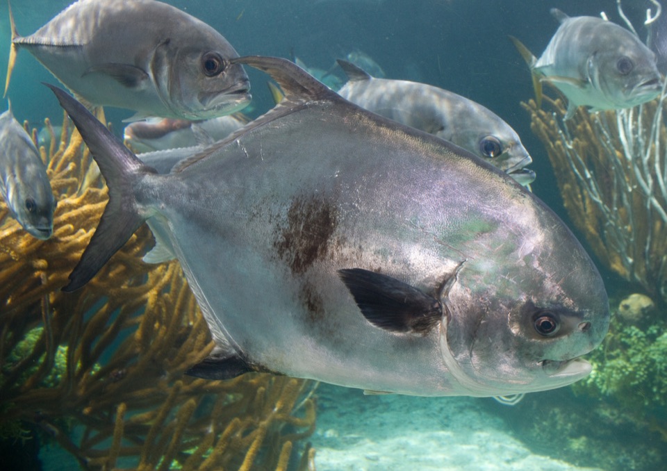
Permit
Permit 79
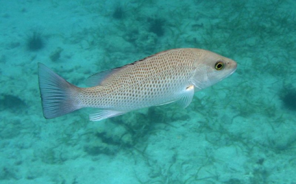
Mangrove snapper
Mangrove snapper 100
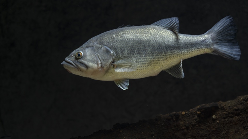
Largemouth
Largemouth 84
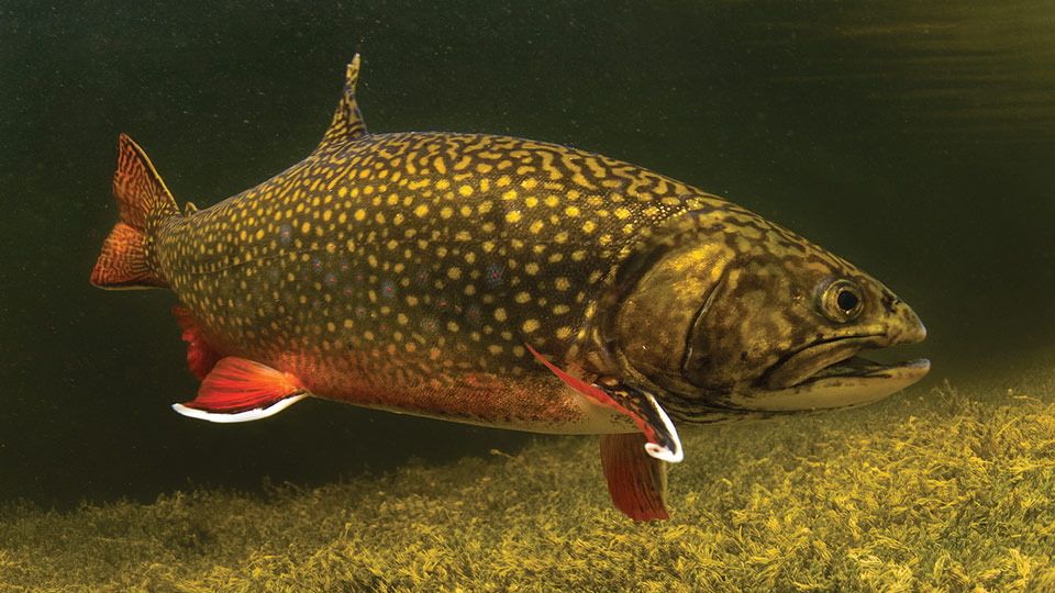
Brook trout
Brook trout 67
Yellowfin
Yellowfin 63
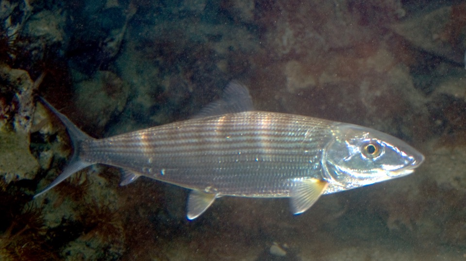
Bonefish
Bonefish 86
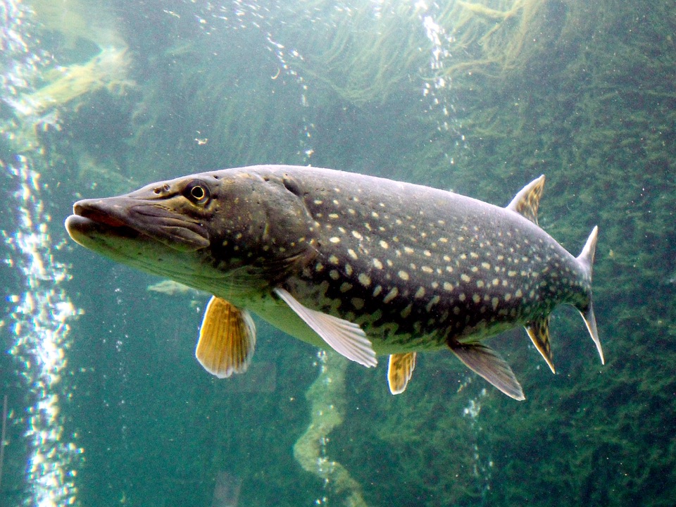
Northern pike
Northern pike 71
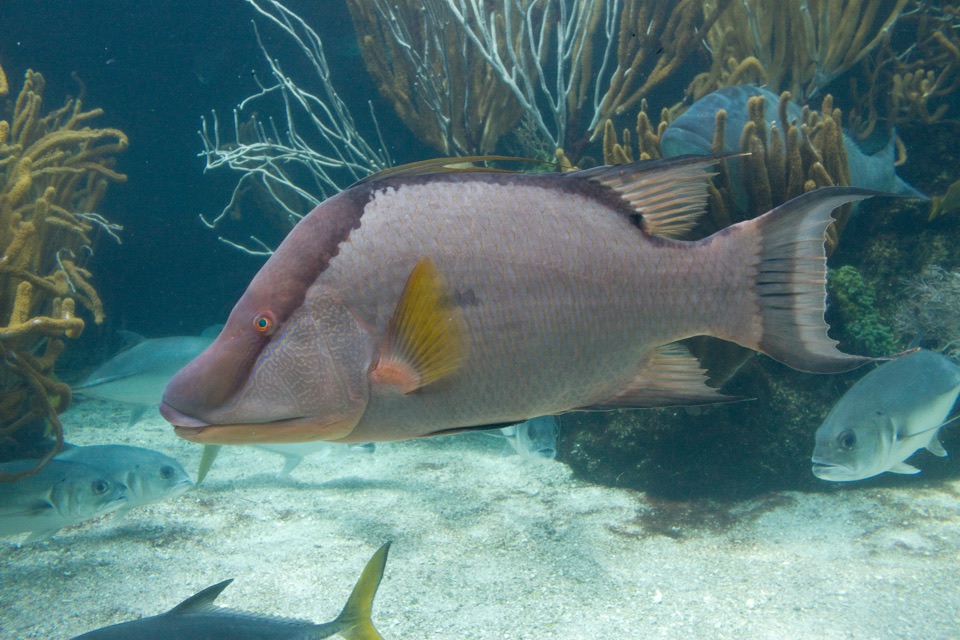
Hogfish
Hogfish 69
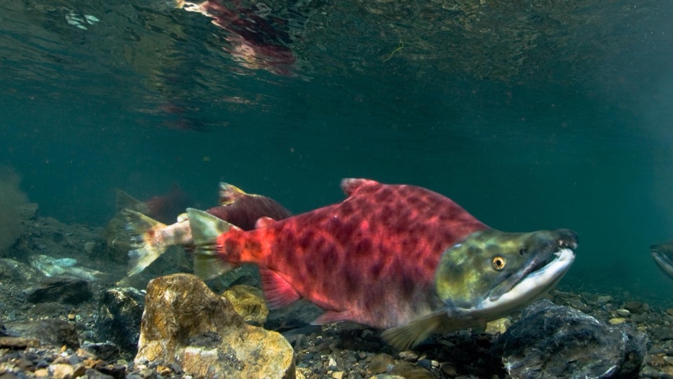
Sockeye
Sockeye 55

Know before you go.

A guide who has already been out this morning. Open the app and the water near you is already scored, filtered to what you can reach, and planned a week ahead.

Every species, scored for your water this hour

215 species ranked 0 to 100, refreshed every hour for your exact water. Not a region, not a county. Each score comes with the reason in plain words: the tide stage, the water temperature, the feed that is on.

215 speciesNOAA tidesLive water temperatureWind and seas
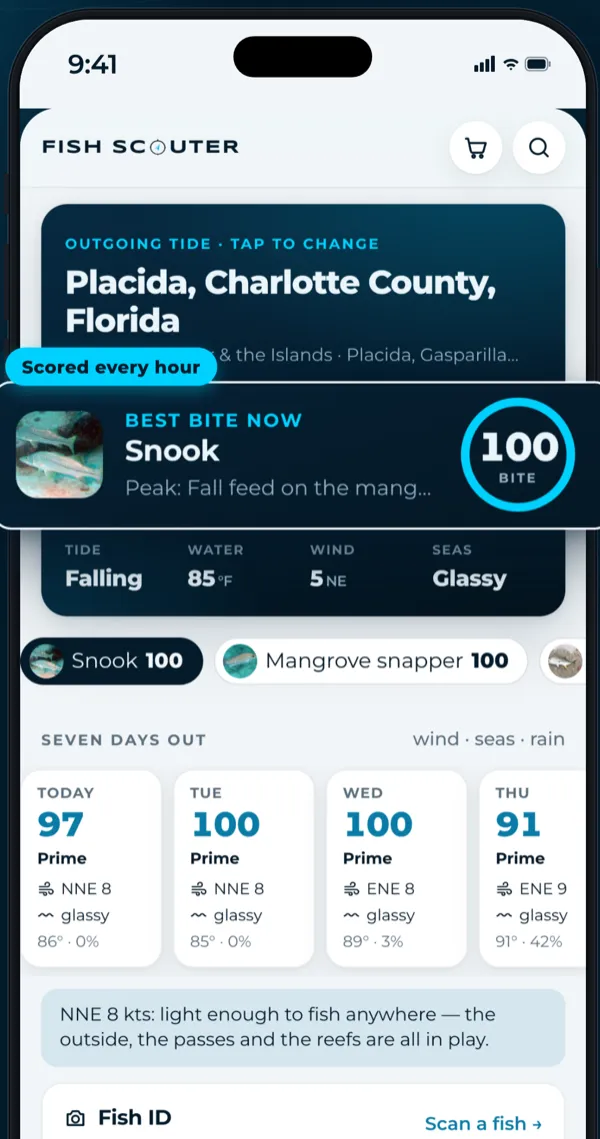
Forecast screen with the best bite now, snook at 100, and today's tide, water, wind and seas.

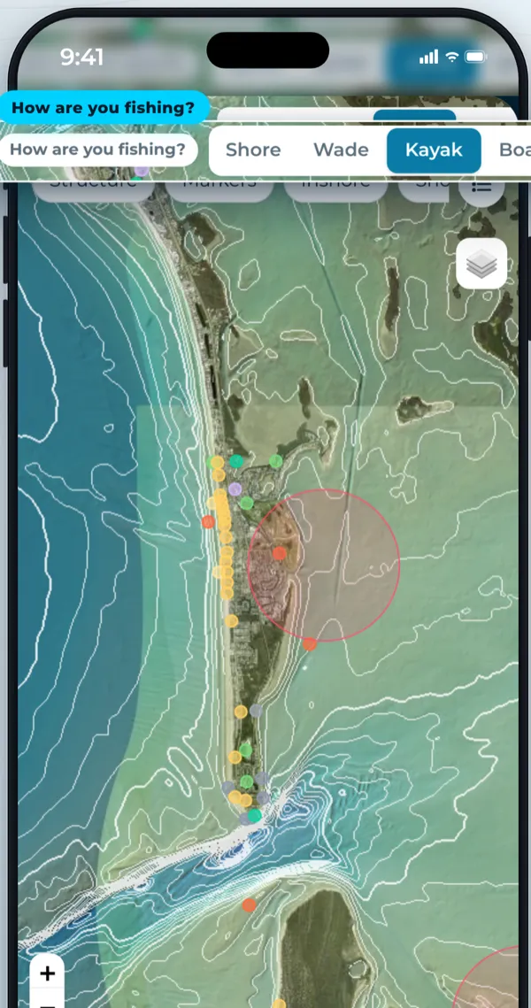
Say how you’re fishing. The map shows what you can reach.

168,000+ charted spots on satellite: reefs, wrecks, ledges, flats, passes, piers and ramps. Choose shore, wade, kayak or boat and the spots filter to the ones you can actually get to today.

168,000+ spotsSatellite, chart or streetShore, wade, kayak, boat
Satellite, Gasparilla Sound
The map: satellite view of a Florida barrier island with charted spots and the how-are-you-fishing filter set to kayak.

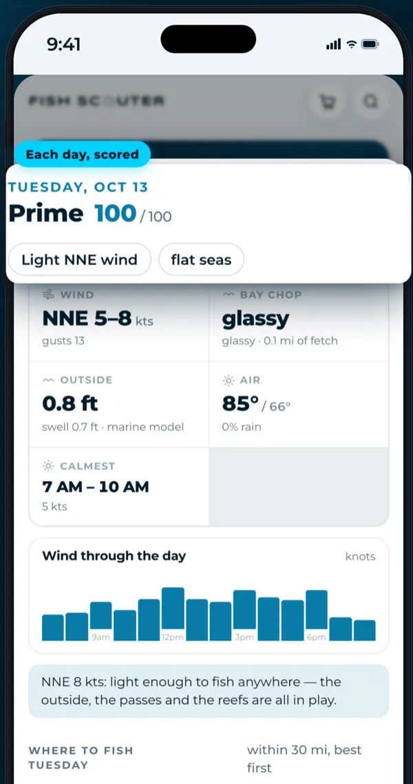
Pick the day to take off

Wind, seas and rain for the week, each day scored. On the Guide plan, Today’s plan tells you where to fish it and when the water goes calm.

7-day outlookCalmest windowToday’s plan, Guide plan
Tuesday scored Prime 100 of 100, light NNE wind, flat seas, calmest 7 to 10 AM.

Catch them all.

The Fish Book holds every one of the 215 species. Each fish you land fills a page and earns points by rarity and size. Pages you have not filled yet stay grey until you do.

Snook
Snook40 pts a fish
Redfish
Redfish30 pts a fish
Tarpon
Tarpon120 pts a fish
Sheepshead
SheepsheadNot yet · 15 pts
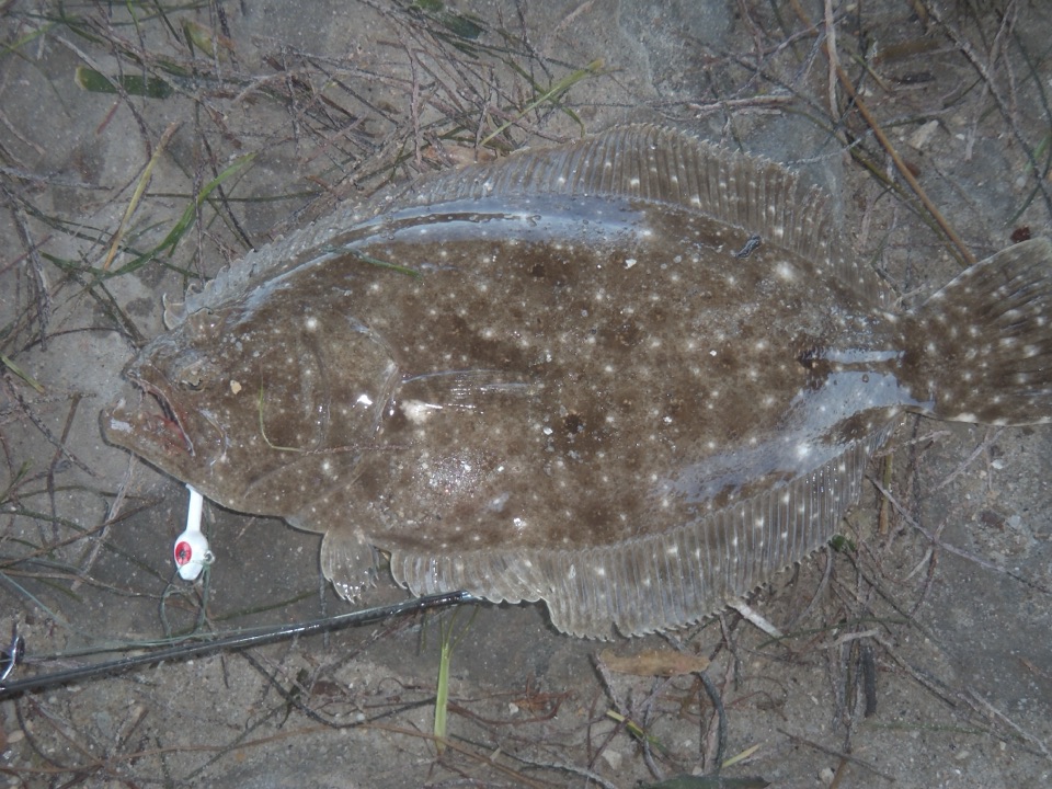
Flounder
FlounderNot yet · 20 pts
Bonefish
Bonefish70 pts a fish
Permit
PermitNot yet · 90 pts
Mahi-mahi
Mahi-mahiNot yet · 50 pts
Blue marlin
Blue marlinNot yet · 300 pts
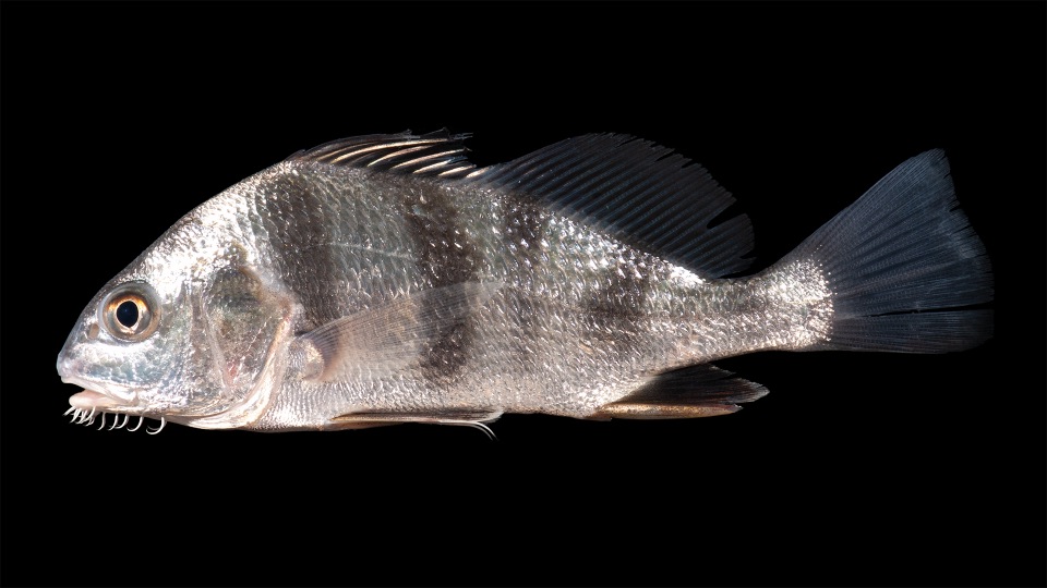
Black drum
Black drumNot yet · 20 pts
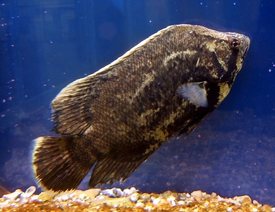
Tripletail
TripletailNot yet · 45 pts
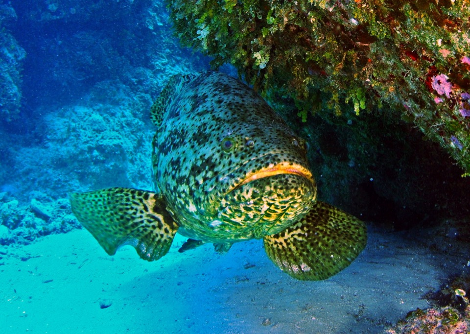
Goliath grouper
Goliath grouperNot yet · 200 pts

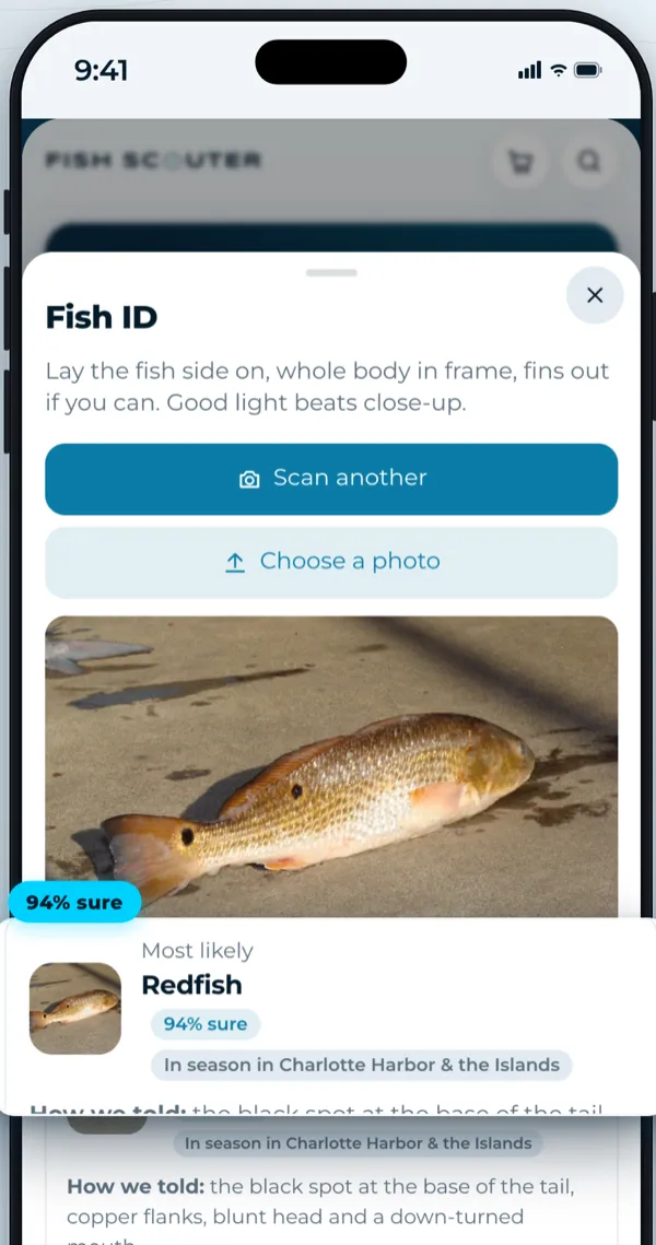
Not sure what you just landed? Point the camera.

Fish ID names the fish from a photo, tells you how it could tell, and whether it is in season where you are standing. Log it and the page fills itself.

See every species

Redfish, 94% sure
Fish ID: a photo of a redfish on a dock, identified as redfish, 94% sure, in season in Charlotte Harbor.

Every US coast.The Great Lakes.Fresh water, by state.

Gulf of Mexico
The Lower Texas Coast, The Upper Texas Coast, The Louisiana Marsh, Mississippi Sound & Mobile Bay
South Atlantic
The Golden Isles, The Lowcountry, The Southern Outer Banks & Cape Fear, The Outer Banks
Mid & North Atlantic
The Chesapeake, Delmarva & Delaware Bay, The Jersey Shore, Long Island & the Sound and 2 more
Pacific
Southern California Bight, Central Coast & San Francisco Bay, The North Coast, The Oregon Coast and 1 more
Alaska & Hawaii
Southeast Alaska, Southcentral Alaska, The Hawaiian Islands
Great Lakes
Lake Superior, Lake Michigan, Lake Huron & Lake St. Clair, Lake Erie and 1 more
Fresh water by state
Alabama fresh water, Alaska fresh water, Arizona fresh water, Arkansas fresh water and 46 more

Florida, water by water

A Panhandle bayou and a Keys flat are different planets. Each water carries its own season calendar and a month-by-month guide. This is November.

All 87 waters
“Best app ever.”
Fish Scouter beta tester
“Never thought I could find this many new spots with one app.”
Fish Scouter beta tester
“I can't wait to catch them all.”
Fish Scouter beta tester

Pick your plan.

Every plan reads the same water. Start free for 14 days; cancel from inside the app. Pay yearly and take 20% off.

Angler

Know before you go
$9.99/mo

per month, billed monthly

Top features:
  • Every species ranked for your water, this hour
  • Tides, water temperature, sunrise and the prime windows
  • Every reef, wreck and rock on a satellite map
  • Catches logged near you
  • Up to 100 saved spots
  • Import your plotter's marks (GPX)
Start free trial
Most anglers

Captain

Run the boat on it
$19.99/mo

per month, billed monthly

Everything in Angler, and:
  • Unlimited saved spots
  • Export your spots to Navionics, Garmin and the rest (GPX)
  • Every Florida water, month by month, in the app
  • Coordinates in degrees-minutes for the plotter
  • Priority help from the shop
Start free trial

Guide

For charters and crews
$39.99/mo

per month, billed monthly

Everything in Captain, and:
  • Up to five crew sign-ins on one plan
  • Dock reports posted under your business name
  • A guide listing on the site (coming)
  • Share a day's forecast with clients by link (coming)
Start free trial

14-day free trial on every plan. Cancel any time.

Asked at the counter.

The short answers. The long ones are on the blog.

Read the blog

Is the forecast a promise?

No. It is a rule of thumb — a guide's reasoning written down and applied every hour to real tide and temperature data. It tells you why it thinks what it thinks so you can disagree with it. The fish still decide.

Where do the spots come from?

NOAA's electronic charts carry the charted wrecks, obstructions and rocks; state wildlife agencies publish their artificial reefs, fish attractors and ramps — Florida's Fish and Wildlife Conservation Commission every reef deployment in the state, with depth and relief. Fish Scouter reads them and draws them on the map with coordinates. Your own marks come from you.

Does it work with Navionics?

Both directions. Export your marks from the Navionics Boating app (Menu → Markers → Export) and import the GPX file; save spots in Fish Scouter and export them as GPX to import into Navionics, Garmin, Lowrance, Simrad or Humminbird.

Can other members see my spots or where I caught fish?

Your spots are private, full stop. A catch you log shows on the feed as the general area — rounded to about three-quarters of a mile — never the exact position. Only you see your own exact positions.

Which regulations does it show?

A summary for each fish, with the date it was checked, and in Florida the snook season and slot for your region. Limits and closures are the state's and change — FWC's in Florida — so Fish Scouter points you at the state agency before you keep a fish.

Is there a phone app?

Fish Scouter is built for the phone in the browser — add it to your home screen from Safari or Chrome and it opens like an app, full screen, with your location.

Explore more water. Find more fish.